
Deep Insight
The operational engineering platform for your digital factory
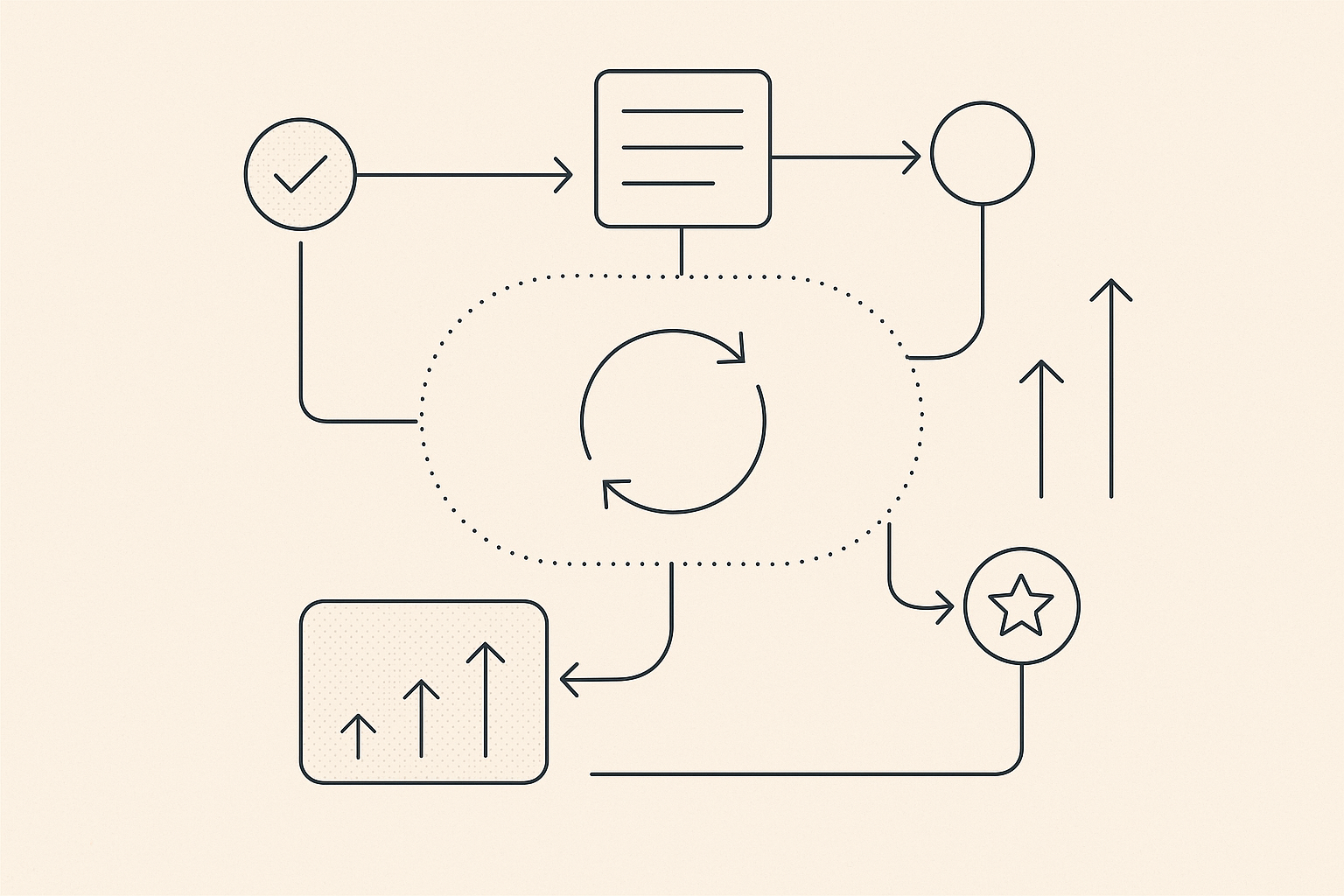
One Platform, Compounding Engineering Advantage
Your existing data platforms, GIS, historians, and specialist systems already hold valuable parts of the operating picture. Endla does not ask them to stop being authoritative.
Endla maps their governed data into an operational Ontology of the assets, relationships, and Actions engineers work with. Customer Solutions combine Services, Endla files, Components, Automations, domain engines, and the Endla Agent to turn that context into repeatable decisions and governed action.
It is built as the practical implementation of Endla's Digital Factory model, and those same principles are formalised in our Practical Digital Transformation framework. Together they define a platform built for automation and compounding engineering benefits.
Build on Your Existing Data Platforms
Build on Your Existing Data Platforms
Keep your existing data platforms, GIS, SCADA/PI, specialist models, and operational systems in place. Endla connects their governed data to the engineering Objects, relationships, and Actions needed for each workflow.
Keep the Model Live with GIS and SCADA Sync
Keep the Model Live with GIS and SCADA Sync
Automated syncing keeps subsurface, facilities, and field views operating on the same assumptions so models stay trustworthy.

Turn Governed Data into Shared Operating Context
Turn Governed Data into Shared Operating Context
Each source remains authoritative for the data it owns. Endla connects that data in an operational digital twin of assets, current state, relationships, and governed Actions so teams can work from connected assumptions without creating another silo.
Turn Engineering Logic into Governed Automation
Turn Engineering Logic into Governed Automation
Deep Insight brings automation, cloud computing, and cutting-edge visualisations to upstream oil & gas. It streamlines how engineers build, test, and ship operational workflows as part of your digital factory.
Replace Fragile Spreadsheets with Reusable Components
Replace Fragile Spreadsheets with Reusable Components
Compose configurable Components instead of brittle spreadsheets so you can adapt workflows quickly and roll out improvements across the organisation.

Operate Anywhere Through the Browser
Operate Anywhere Through the Browser
Zero-footprint deployment lets teams log in from anywhere while data flows from GIS, SCADA/PI, SQL, and CSV sources without friction.

Scale Securely with Enterprise Controls
Scale Securely with Enterprise Controls
Run mission-critical workflows on a hardened platform with enterprise identity, compliance, and observability baked in from day one.

Ready to get started?
See how Deep Insight can transform your operations.