Pipelines
A modelling-ready digital twin built directly from your GIS.
The Digital Twin Foundation
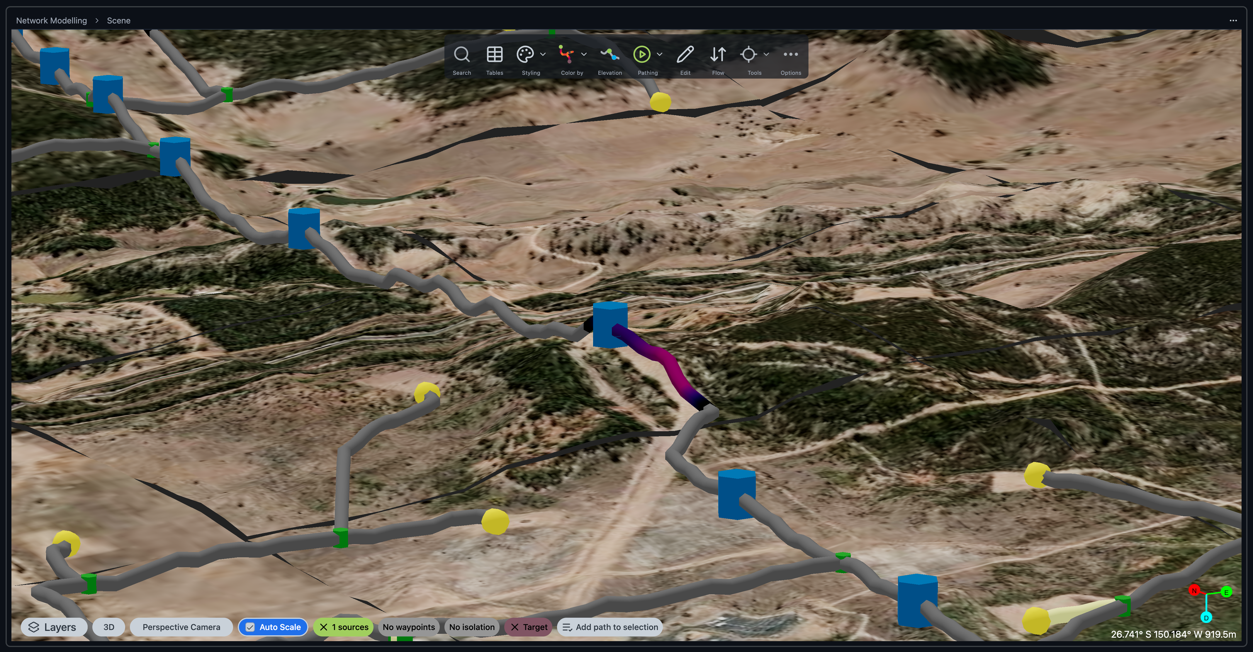
Pipelines is the foundational layer for the network digital twin. A governed model built from GIS and kept operationally useful. It gives teams consistent network context before layering on advanced modules.
• Constructs connected network topology directly from GIS sources.
• Includes elevation-aware pathing and connectivity tracing.
• Enables 3D analysis, querying, and visual exploration in context.
• Supports custom code workflows on top of the same twin.
Maintain Models Directly from GIS and SCADA
Maintain Models Directly from GIS and SCADA
Automated syncing keeps subsurface, facilities, and field views operating on the same assumptions so models stay trustworthy.

Single Source of Truth
Single Source of Truth
Keep one governed network model shared across engineering and operations.
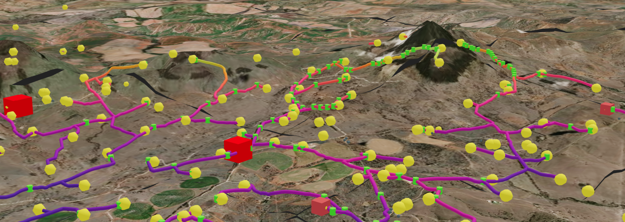
3D analysis and query tools
3D analysis and query tools
Inspect pathing, elevation, and connectivity directly in 3D.